Shared use path alongside Hallmeadow Road
Introduction
The photograph on this page of Shared use path alongside Hallmeadow Road by Richard Law as part of the Geograph project.
The Geograph project started in 2005 with the aim of publishing, organising and preserving representative images for every square kilometre of Great Britain, Ireland and the Isle of Man.

There are currently over 7.5m images from over 14,400 individuals and you can help contribute to the project by visiting https://www.geograph.org.uk
Shared use path alongside Hallmeadow Road
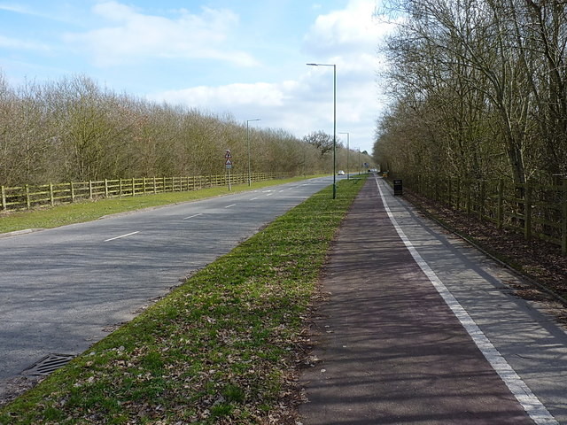
Image: © Richard Law Taken: 21 Mar 2018
A shared cycleway and footpath beside the new road parallel to the railway.
Images are licensed for reuse under creativecommons.org/licenses/by-sa/2.0
Image Location
Latitude
52.398052
Longitude
-1.647967