Disused footbridge
Introduction
The photograph on this page of Disused footbridge by don cload as part of the Geograph project.
The Geograph project started in 2005 with the aim of publishing, organising and preserving representative images for every square kilometre of Great Britain, Ireland and the Isle of Man.

There are currently over 7.5m images from over 14,400 individuals and you can help contribute to the project by visiting https://www.geograph.org.uk
Disused footbridge
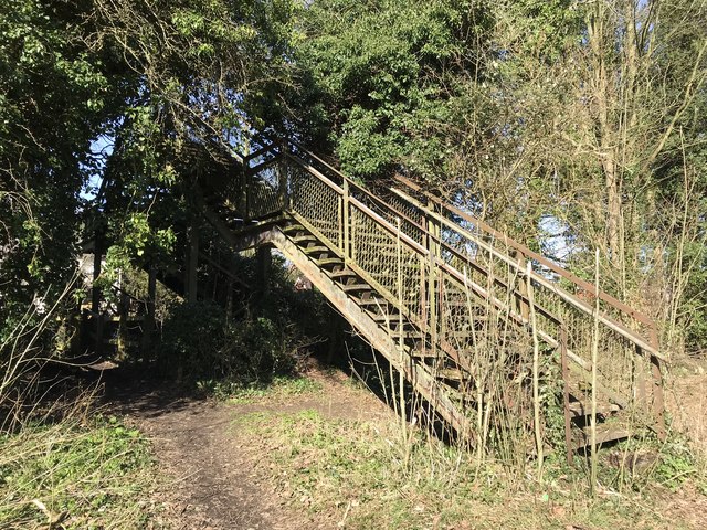
Image: © don cload Taken: 21 Mar 2018
There is little evidence of the original railway line here but the footbridge remains open and is useable although there is a level path.
Images are licensed for reuse under creativecommons.org/licenses/by-sa/2.0
Image Location
Latitude
51.692362
Longitude
-2.355845