West on Newtown Road, Bedworth
Introduction
The photograph on this page of West on Newtown Road, Bedworth by Robin Stott as part of the Geograph project.
The Geograph project started in 2005 with the aim of publishing, organising and preserving representative images for every square kilometre of Great Britain, Ireland and the Isle of Man.

There are currently over 7.5m images from over 14,400 individuals and you can help contribute to the project by visiting https://www.geograph.org.uk
West on Newtown Road, Bedworth
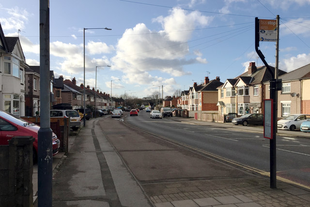
Image: © Robin Stott Taken: 31 Jan 2018
It's bridged by the A444 dual carriageway in SP3486, left of centre. The space between the houses, half right, is the entrance to Bedworth Sloughs, a lake thought to be the result of mining subsidence, fed by the young River Sowe.
Images are licensed for reuse under creativecommons.org/licenses/by-sa/2.0
Image Location
Latitude
52.479178
Longitude
-1.485651