Bog near Strondow
Introduction
The photograph on this page of Bog near Strondow by Anne Burgess as part of the Geograph project.
The Geograph project started in 2005 with the aim of publishing, organising and preserving representative images for every square kilometre of Great Britain, Ireland and the Isle of Man.

There are currently over 7.5m images from over 14,400 individuals and you can help contribute to the project by visiting https://www.geograph.org.uk
Bog near Strondow
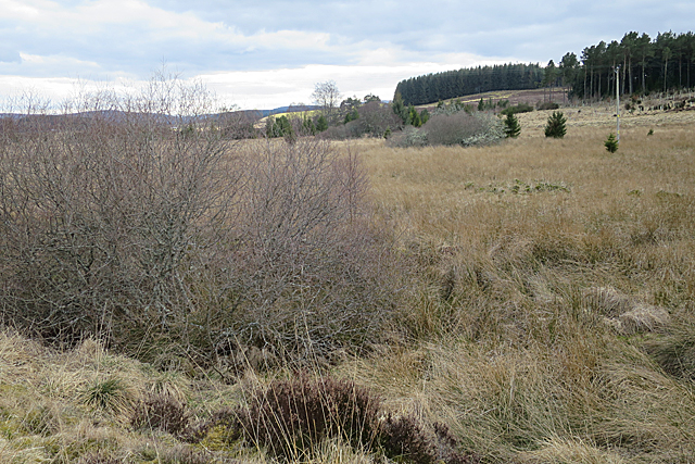
Image: © Anne Burgess Taken: 26 Mar 2018
I didn't have to try walking here to know it's a bog. First, it is flat, Second, it's covered with coarse grass and rushes. Third, there are willows growing in it. All these features say 'bog!' to me. The map shows a widish channel through it, but I didn't see this thanks to the vegetation.
Images are licensed for reuse under creativecommons.org/licenses/by-sa/2.0
Image Location
Latitude
57.480905
Longitude
-3.382373