Ennis Road, Plumstead
Introduction
The photograph on this page of Ennis Road, Plumstead by Stephen McKay as part of the Geograph project.
The Geograph project started in 2005 with the aim of publishing, organising and preserving representative images for every square kilometre of Great Britain, Ireland and the Isle of Man.

There are currently over 7.5m images from over 14,400 individuals and you can help contribute to the project by visiting https://www.geograph.org.uk
Ennis Road, Plumstead
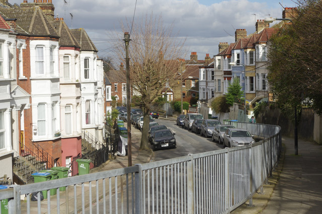
Image: © Stephen McKay Taken: 20 Mar 2018
Ennis Road curves away from Admaston Road on land that slopes down from Shrewsbury Park and the Shooters Hill area.
Images are licensed for reuse under creativecommons.org/licenses/by-sa/2.0
Image Location
Latitude
51.478833
Longitude
0.078572