The Boot Inn in Nuneaton, Warwickshire
Introduction
The photograph on this page of The Boot Inn in Nuneaton, Warwickshire by Roger D Kidd as part of the Geograph project.
The Geograph project started in 2005 with the aim of publishing, organising and preserving representative images for every square kilometre of Great Britain, Ireland and the Isle of Man.

There are currently over 7.5m images from over 14,400 individuals and you can help contribute to the project by visiting https://www.geograph.org.uk
The Boot Inn in Nuneaton, Warwickshire
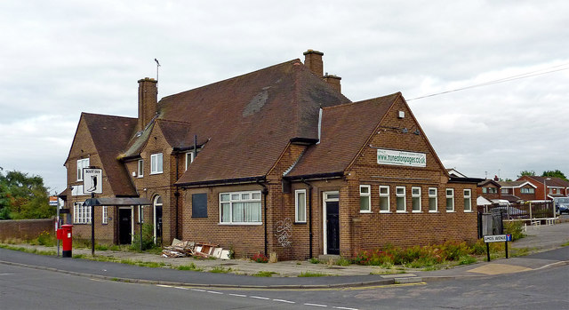
Image: © Roger D Kidd Taken: 19 Aug 2013
This image of The Boot Inn on the corner of Amos Avenue and Bullring dates from 2013, the pub having already closed. A blog shows the pub converted into apartments by September 2015: http://pubsthenandnow.blogspot.co.uk/2016/09/193-boot-inn-nuneaton-warwickshire-1995.html
Images are licensed for reuse under creativecommons.org/licenses/by-sa/2.0
Image Location
Latitude
52.514091
Longitude
-1.472424