Brown House to Barley Moor
Introduction
The photograph on this page of Brown House to Barley Moor by Carroll Pierce as part of the Geograph project.
The Geograph project started in 2005 with the aim of publishing, organising and preserving representative images for every square kilometre of Great Britain, Ireland and the Isle of Man.

There are currently over 7.5m images from over 14,400 individuals and you can help contribute to the project by visiting https://www.geograph.org.uk
Brown House to Barley Moor
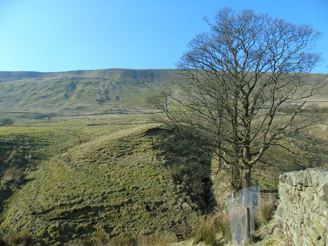
Image: © Carroll Pierce Taken: 25 Feb 2018
Taken on the Pendle Way linking Barley with the Beacon or Big End, Pendle Hill, Lancashire, I am just above Brown House and looking west towards the longer of the two paths leading up to the crest of the hill at Barley Moor.
Images are licensed for reuse under creativecommons.org/licenses/by-sa/2.0
Image Location


Leaflet Map data © OpenStreetMap
Latitude
53.865225
Longitude
-2.28964