Signposts on eastern approach to Hengoed Viaduct
Introduction
The photograph on this page of Signposts on eastern approach to Hengoed Viaduct by M J Roscoe as part of the Geograph project.
The Geograph project started in 2005 with the aim of publishing, organising and preserving representative images for every square kilometre of Great Britain, Ireland and the Isle of Man.

There are currently over 7.5m images from over 14,400 individuals and you can help contribute to the project by visiting https://www.geograph.org.uk
Signposts on eastern approach to Hengoed Viaduct
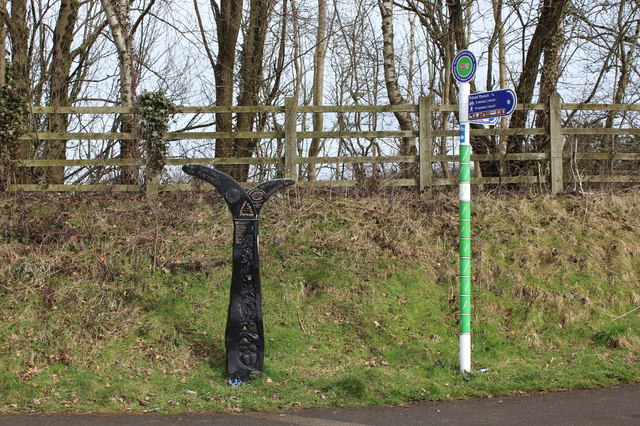
Image: © M J Roscoe Taken: 24 Mar 2018
On the left is one of a thousand millennium mileposts to mark the creation of the national cycle network; the left arm gives the mileage to the Taff Trail and Pontypridd, the right to Newport and Crosskeys. The green and white post Image is a Loops & Links post; the nearer arm should be pointing to the left.
Images are licensed for reuse under creativecommons.org/licenses/by-sa/2.0
Image Location
Latitude
51.64663
Longitude
-3.221072