Main Road, Rettendon Village
Introduction
The photograph on this page of Main Road, Rettendon Village by Robin Webster as part of the Geograph project.
The Geograph project started in 2005 with the aim of publishing, organising and preserving representative images for every square kilometre of Great Britain, Ireland and the Isle of Man.

There are currently over 7.5m images from over 14,400 individuals and you can help contribute to the project by visiting https://www.geograph.org.uk
Main Road, Rettendon Village
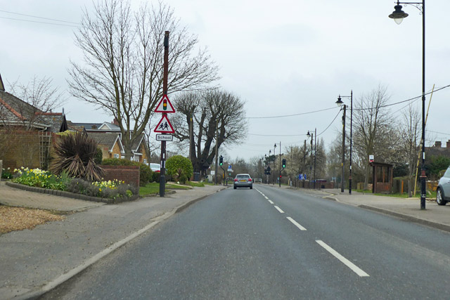
Image: © Robin Webster Taken: 25 Mar 2018
Formerly this was a proper Main Road, the A130, before the current A130 route was built.
Images are licensed for reuse under creativecommons.org/licenses/by-sa/2.0
Image Location
Latitude
51.636999
Longitude
0.557518