An ancient landscape
Introduction
The photograph on this page of An ancient landscape by Bob Harvey as part of the Geograph project.
The Geograph project started in 2005 with the aim of publishing, organising and preserving representative images for every square kilometre of Great Britain, Ireland and the Isle of Man.

There are currently over 7.5m images from over 14,400 individuals and you can help contribute to the project by visiting https://www.geograph.org.uk
An ancient landscape
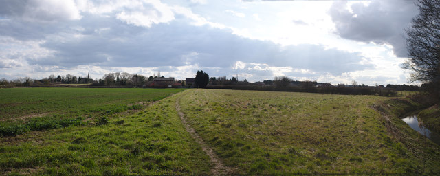
Image: © Bob Harvey Taken: 25 Mar 2018
The rising ground toward Screddington contains many traces of the earlier Manorial construction
Images are licensed for reuse under creativecommons.org/licenses/by-sa/2.0
Image Location
Latitude
52.953318
Longitude
-0.371255