Direction and distance signs, Two Locks Road, Cwmbran
Introduction
The photograph on this page of Direction and distance signs, Two Locks Road, Cwmbran by Jaggery as part of the Geograph project.
The Geograph project started in 2005 with the aim of publishing, organising and preserving representative images for every square kilometre of Great Britain, Ireland and the Isle of Man.

There are currently over 7.5m images from over 14,400 individuals and you can help contribute to the project by visiting https://www.geograph.org.uk
Direction and distance signs, Two Locks Road, Cwmbran
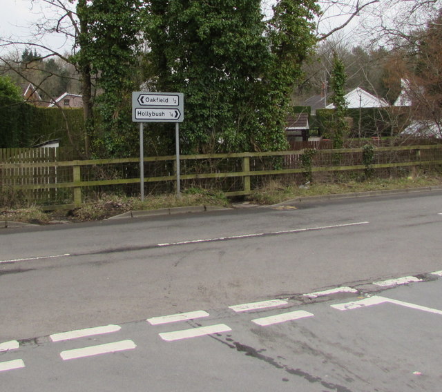
Image: © Jaggery Taken: 24 Mar 2018
Facing the Cocker Avenue junction, the signs are half a mile from Oakfield to the left and a quarter of a mile from Hollybush to the right.
Images are licensed for reuse under creativecommons.org/licenses/by-sa/2.0
Image Location
Latitude
51.641239
Longitude
-3.033346