Northeastern slope of Green Hill, Blackdown
Introduction
The photograph on this page of Northeastern slope of Green Hill, Blackdown by Peter Facey as part of the Geograph project.
The Geograph project started in 2005 with the aim of publishing, organising and preserving representative images for every square kilometre of Great Britain, Ireland and the Isle of Man.

There are currently over 7.5m images from over 14,400 individuals and you can help contribute to the project by visiting https://www.geograph.org.uk
Northeastern slope of Green Hill, Blackdown
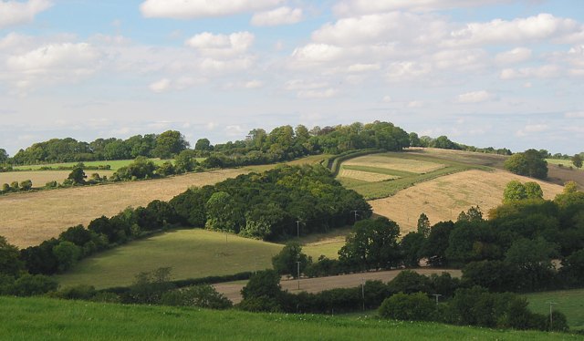
Image: © Peter Facey Taken: 24 Sep 2005
Looking NW from footpath on White Hill. Rectangular copse is of Yew and produces Image on road to Baybridge which runs diagonally up the hill. In valley is road to Blackdown. Road junction Image is at bottom left.
Images are licensed for reuse under creativecommons.org/licenses/by-sa/2.0
Image Location


Leaflet Map data © OpenStreetMap
Latitude
50.997605
Longitude
-1.237568