A1052 entering Bournmoor
Introduction
The photograph on this page of A1052 entering Bournmoor by Trevor Littlewood as part of the Geograph project.
The Geograph project started in 2005 with the aim of publishing, organising and preserving representative images for every square kilometre of Great Britain, Ireland and the Isle of Man.

There are currently over 7.5m images from over 14,400 individuals and you can help contribute to the project by visiting https://www.geograph.org.uk
A1052 entering Bournmoor
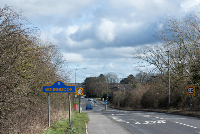
Image: © Trevor Littlewood Taken: 23 Mar 2018
Bournmoor is a village on County Durham close to its boundary with Sunderland. The blue and yellow road sign is in the style used in the county for place name road signage for some years.
Images are licensed for reuse under creativecommons.org/licenses/by-sa/2.0
Image Location
Latitude
54.854133
Longitude
-1.526308