Cattle grid on Eldersfield Marsh
Introduction
The photograph on this page of Cattle grid on Eldersfield Marsh by Philip Halling as part of the Geograph project.
The Geograph project started in 2005 with the aim of publishing, organising and preserving representative images for every square kilometre of Great Britain, Ireland and the Isle of Man.

There are currently over 7.5m images from over 14,400 individuals and you can help contribute to the project by visiting https://www.geograph.org.uk
Cattle grid on Eldersfield Marsh
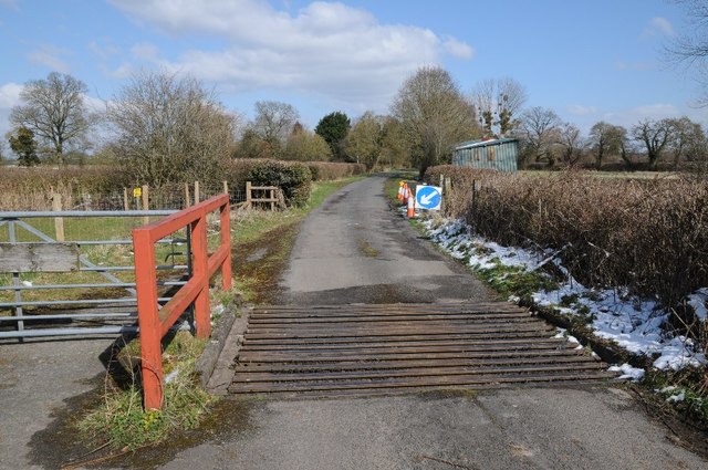
Image: © Philip Halling Taken: 19 Mar 2018
Cattle grid on the north through road to Hardwick Green on Eldersfield Marsh. Viewed from the opposite direction to Jonathan's 2010 picture Image
Images are licensed for reuse under creativecommons.org/licenses/by-sa/2.0
Image Location
Latitude
51.989816
Longitude
-2.276647