Redevelopment of 41, Central Parade
Introduction
The photograph on this page of Redevelopment of 41, Central Parade by John Baker as part of the Geograph project.
The Geograph project started in 2005 with the aim of publishing, organising and preserving representative images for every square kilometre of Great Britain, Ireland and the Isle of Man.

There are currently over 7.5m images from over 14,400 individuals and you can help contribute to the project by visiting https://www.geograph.org.uk
Redevelopment of 41, Central Parade
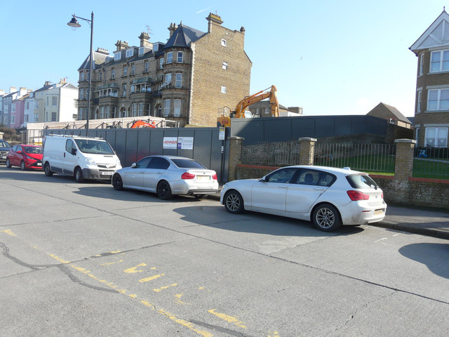
Image: © John Baker Taken: 11 Mar 2018
Planning permission has been granted by Canterbury City Council under application number CA//15/01831 for the “demolition of existing social club (use Class D2) and erection of 14 one, two and three bedroom self-contained flats (use Class C3) with 12 parking spaces and associated works”. These were the Image after completion. This image of Image shows the social club before it was demolished.
Images are licensed for reuse under creativecommons.org/licenses/by-sa/2.0
Image Location
Latitude
51.372324
Longitude
1.124575