The Severn Way near Stokes Wood
Introduction
The photograph on this page of The Severn Way near Stokes Wood by Bill Boaden as part of the Geograph project.
The Geograph project started in 2005 with the aim of publishing, organising and preserving representative images for every square kilometre of Great Britain, Ireland and the Isle of Man.

There are currently over 7.5m images from over 14,400 individuals and you can help contribute to the project by visiting https://www.geograph.org.uk
The Severn Way near Stokes Wood
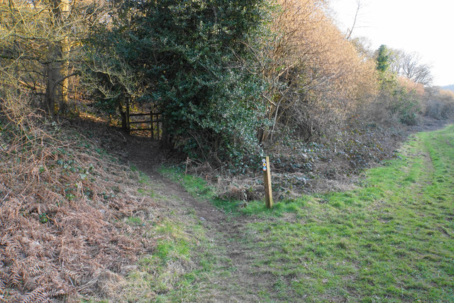
Image: © Bill Boaden Taken: 24 Feb 2018
The path leaves the flood plain to take a short detour through woodland on the hillside.
Images are licensed for reuse under creativecommons.org/licenses/by-sa/2.0
Image Location


Leaflet Map data © OpenStreetMap
Latitude
52.36131
Longitude
-2.309508