Arable field off Waldridge Road, Chester-le-Street
Introduction
The photograph on this page of Arable field off Waldridge Road, Chester-le-Street by Graham Robson as part of the Geograph project.
The Geograph project started in 2005 with the aim of publishing, organising and preserving representative images for every square kilometre of Great Britain, Ireland and the Isle of Man.

There are currently over 7.5m images from over 14,400 individuals and you can help contribute to the project by visiting https://www.geograph.org.uk
Arable field off Waldridge Road, Chester-le-Street
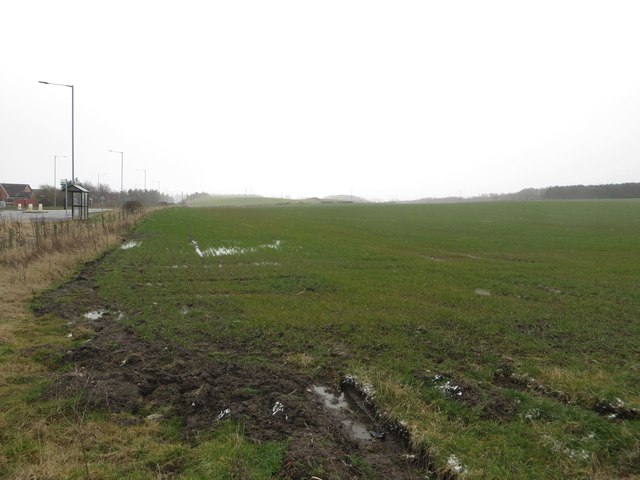
Image: © Graham Robson Taken: 17 Mar 2018
A large arable field alongside Waldridge Road on the western edge of Chester-le-Street. The field is all that separates the town of Chester-le-Street from the small former mining village of Waldridge.
Images are licensed for reuse under creativecommons.org/licenses/by-sa/2.0
Image Location
Latitude
54.847935
Longitude
-1.602224