Ger Aberbechan Hall / Near Aberbechan Hall
Introduction
The photograph on this page of Ger Aberbechan Hall / Near Aberbechan Hall by Alan Richards as part of the Geograph project.
The Geograph project started in 2005 with the aim of publishing, organising and preserving representative images for every square kilometre of Great Britain, Ireland and the Isle of Man.

There are currently over 7.5m images from over 14,400 individuals and you can help contribute to the project by visiting https://www.geograph.org.uk
Ger Aberbechan Hall / Near Aberbechan Hall
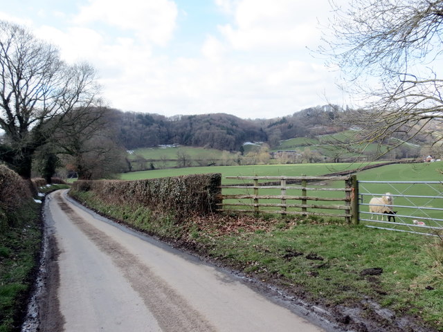
Image: © Alan Richards Taken: 21 Mar 2018
Heol fach ger Aberbechan Hall. Mae llwybr cyhoeddus yn mynd drwy'r gât ar y dde. A minor road near Aberbechan Hall (trans. confluence of the Bechan brook). A public footpath goes through the gate on the right.
Images are licensed for reuse under creativecommons.org/licenses/by-sa/2.0
Image Location
Latitude
52.538357
Longitude
-3.2728