View towards Monk Bretton
Introduction
The photograph on this page of View towards Monk Bretton by Jonathan Thacker as part of the Geograph project.
The Geograph project started in 2005 with the aim of publishing, organising and preserving representative images for every square kilometre of Great Britain, Ireland and the Isle of Man.

There are currently over 7.5m images from over 14,400 individuals and you can help contribute to the project by visiting https://www.geograph.org.uk
View towards Monk Bretton
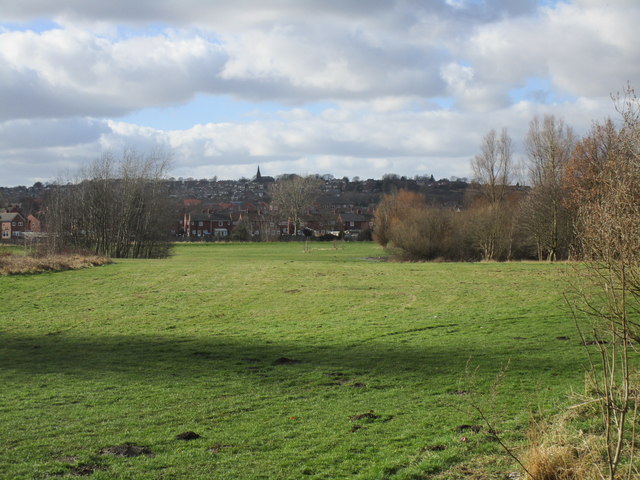
Image: © Jonathan Thacker Taken: 19 Mar 2018
Taken from the former railway embankment which now carries the Trans Pennine Trail. Monk Bretton Priory is just out of the picture to the left but the parish church is prominent on the hill.
Images are licensed for reuse under creativecommons.org/licenses/by-sa/2.0
Image Location
Latitude
53.555866
Longitude
-1.436162