Kirtling Cross Roads
Introduction
The photograph on this page of Kirtling Cross Roads by mike as part of the Geograph project.
The Geograph project started in 2005 with the aim of publishing, organising and preserving representative images for every square kilometre of Great Britain, Ireland and the Isle of Man.

There are currently over 7.5m images from over 14,400 individuals and you can help contribute to the project by visiting https://www.geograph.org.uk
Kirtling Cross Roads
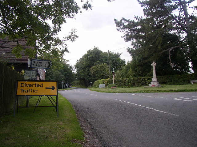
Image: © mike Taken: 24 Sep 2005
Looking W towards Saxon Street. To the left of the war memorial is the village sign. For detail see http://www.kirtlingandupend.org.uk
Images are licensed for reuse under creativecommons.org/licenses/by-sa/2.0
Image Location


Leaflet Map data © OpenStreetMap
Latitude
52.186221
Longitude
0.472176