Castle House Farm
Introduction
The photograph on this page of Castle House Farm by Mick Garratt as part of the Geograph project.
The Geograph project started in 2005 with the aim of publishing, organising and preserving representative images for every square kilometre of Great Britain, Ireland and the Isle of Man.

There are currently over 7.5m images from over 14,400 individuals and you can help contribute to the project by visiting https://www.geograph.org.uk
Castle House Farm
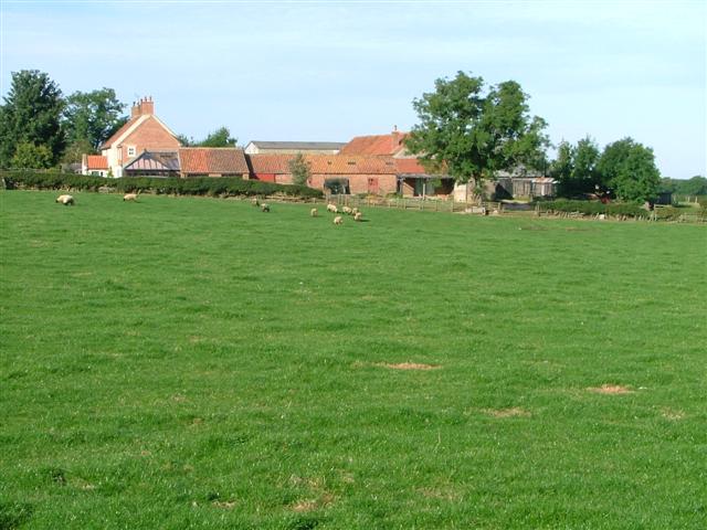
Image: © Mick Garratt Taken: 24 Sep 2005
Situated on the old track between the medieval village of Parva Broctune north to the mill on Broughton Beck (now a Public Bridleway). The house is in an commanding position to defend the manor and village to the south. There was probably no castle ever here but more likely a keep or watchtower. A double chain cannon ball has been found on the farm but this is more probably ammunition rather than a projected missile. The current house dates from about 1800 but may been built on earlier foundations. Reference: Parva Broctune By June Hodgson (2005)
Images are licensed for reuse under creativecommons.org/licenses/by-sa/2.0
Image Location


Leaflet Map data © OpenStreetMap
Latitude
54.459803
Longitude
-1.137661