Winterborne Stickland: Whiteway road junction
Introduction
The photograph on this page of Winterborne Stickland: Whiteway road junction by Chris Downer as part of the Geograph project.
The Geograph project started in 2005 with the aim of publishing, organising and preserving representative images for every square kilometre of Great Britain, Ireland and the Isle of Man.

There are currently over 7.5m images from over 14,400 individuals and you can help contribute to the project by visiting https://www.geograph.org.uk
Winterborne Stickland: Whiteway road junction
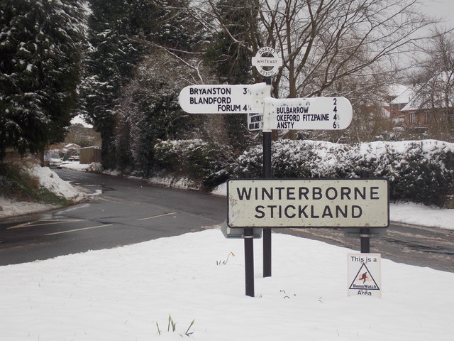
Image: © Chris Downer Taken: 18 Mar 2018
Since March 2016 (Image) the signpost has been replaced, and been adorned with a traditional Dorset roundel giving location name and grid reference. See Image for a close-up of the roundel.
Images are licensed for reuse under creativecommons.org/licenses/by-sa/2.0
Image Location
Latitude
50.845359
Longitude
-2.237859