Crown depiction on the Crown Hotel, Varteg
Introduction
The photograph on this page of Crown depiction on the Crown Hotel, Varteg by Jaggery as part of the Geograph project.
The Geograph project started in 2005 with the aim of publishing, organising and preserving representative images for every square kilometre of Great Britain, Ireland and the Isle of Man.

There are currently over 7.5m images from over 14,400 individuals and you can help contribute to the project by visiting https://www.geograph.org.uk
Crown depiction on the Crown Hotel, Varteg
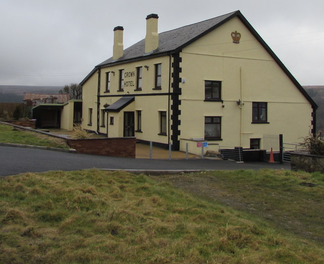
Image: © Jaggery Taken: 15 Mar 2018
The Crown Hotel pub is set back from the east side of the B4246 Varteg Road. The Coflein website records that the building is said to date from 1784 and to have become a public house in 1870. The Tithe Survey marked it as Varteg Shop. Shown on the first edition Ordnance Survey, but not as a public house. Formerly owned by the Rhymney Brewery Company.
Images are licensed for reuse under creativecommons.org/licenses/by-sa/2.0
Image Location


Leaflet Map data © OpenStreetMap
Latitude
51.749664
Longitude
-3.064936