The River Gwash near Brooke
Introduction
The photograph on this page of The River Gwash near Brooke by Tim Heaton as part of the Geograph project.
The Geograph project started in 2005 with the aim of publishing, organising and preserving representative images for every square kilometre of Great Britain, Ireland and the Isle of Man.

There are currently over 7.5m images from over 14,400 individuals and you can help contribute to the project by visiting https://www.geograph.org.uk
The River Gwash near Brooke
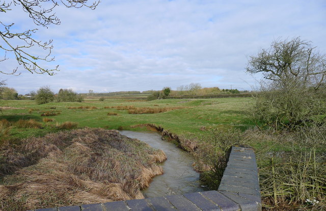
Image: © Tim Heaton Taken: 13 Mar 2018
About 4 miles downstream from its source at Knossington, and 3 miles from its entry to Rutland Water, after which it joins the River Welland at Stamford
Images are licensed for reuse under creativecommons.org/licenses/by-sa/2.0
Image Location


Leaflet Map data © OpenStreetMap
Latitude
52.647865
Longitude
-0.752612