The Royal Talbot
Introduction
The photograph on this page of The Royal Talbot by Eirian Evans as part of the Geograph project.
The Geograph project started in 2005 with the aim of publishing, organising and preserving representative images for every square kilometre of Great Britain, Ireland and the Isle of Man.

There are currently over 7.5m images from over 14,400 individuals and you can help contribute to the project by visiting https://www.geograph.org.uk
The Royal Talbot
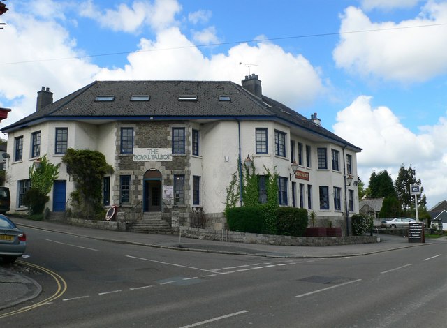
Image: © Eirian Evans Taken: 15 May 2013
Still a public house when we visited in May 2013, but by the year end it had closed and was later converted into flats.
Images are licensed for reuse under creativecommons.org/licenses/by-sa/2.0
Image Location
Latitude
50.408112
Longitude
-4.670241