Talocher Farm, Cwm Du
Introduction
The photograph on this page of Talocher Farm, Cwm Du by M J Roscoe as part of the Geograph project.
The Geograph project started in 2005 with the aim of publishing, organising and preserving representative images for every square kilometre of Great Britain, Ireland and the Isle of Man.

There are currently over 7.5m images from over 14,400 individuals and you can help contribute to the project by visiting https://www.geograph.org.uk
Talocher Farm, Cwm Du
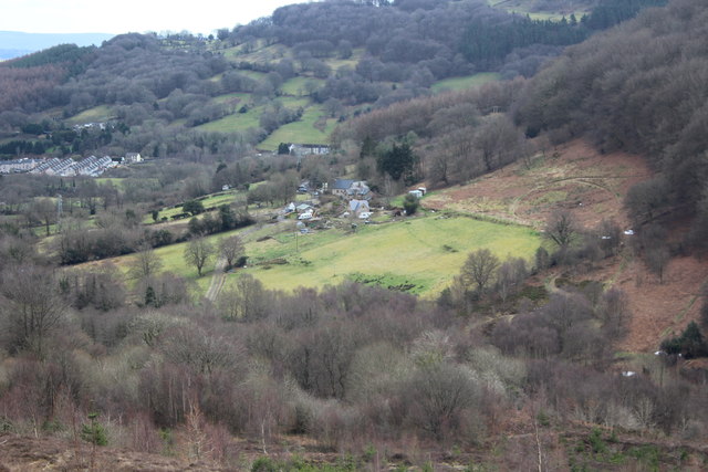
Image: © M J Roscoe Taken: 13 Mar 2018
Valley floor viewed from the site of former Llanrch Colliery. The short row of houses in the centre is part of Wesley Terrace Image
Images are licensed for reuse under creativecommons.org/licenses/by-sa/2.0
Image Location
Latitude
51.711333
Longitude
-3.077786