Grade II Listed Old Rectory, Portskewett
Introduction
The photograph on this page of Grade II Listed Old Rectory, Portskewett by Jaggery as part of the Geograph project.
The Geograph project started in 2005 with the aim of publishing, organising and preserving representative images for every square kilometre of Great Britain, Ireland and the Isle of Man.

There are currently over 7.5m images from over 14,400 individuals and you can help contribute to the project by visiting https://www.geograph.org.uk
Grade II Listed Old Rectory, Portskewett
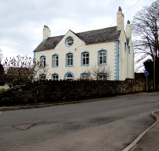
Image: © Jaggery Taken: 11 Mar 2018
On the corner of Crick Road and Oaklands Park, the 18th century building with later alterations ceased being a rectory in the late 20th century. A distinctive feature is the 8-pane circular window in the gable.
Images are licensed for reuse under creativecommons.org/licenses/by-sa/2.0
Image Location
Latitude
51.591112
Longitude
-2.727622