The Skegby Trail
Introduction
The photograph on this page of The Skegby Trail by Alan Walker as part of the Geograph project.
The Geograph project started in 2005 with the aim of publishing, organising and preserving representative images for every square kilometre of Great Britain, Ireland and the Isle of Man.

There are currently over 7.5m images from over 14,400 individuals and you can help contribute to the project by visiting https://www.geograph.org.uk
The Skegby Trail
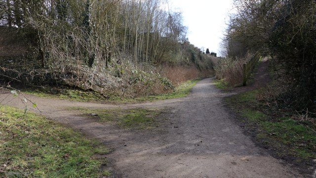
Image: © Alan Walker Taken: 7 Mar 2018
This southerly facing photograph is of the Skegby Trail at a point where it is crossed by a public footpath running from near Skegby Hall (to the right) to Saville Road (to the left). For a photograph of the trail taken a short distance ahead. Click here Image To see a northerly facing photograph of the trail taken a few metres behind the viewpoint, click here:- Image - - - The Skegby Trail was built on the track bed of the former Great Northern Railway's Leen Valley Extensions branch line running between Shirebrook and Kirkby-in-Ashfield. This line gave the company access to local collieries including those at Pleasley and Shirebrook.
Images are licensed for reuse under creativecommons.org/licenses/by-sa/2.0
Image Location
Latitude
53.142862
Longitude
-1.260837