Steyning Bypass A283 - northwards
Introduction
The photograph on this page of Steyning Bypass A283 - northwards by Bob Parkes as part of the Geograph project.
The Geograph project started in 2005 with the aim of publishing, organising and preserving representative images for every square kilometre of Great Britain, Ireland and the Isle of Man.

There are currently over 7.5m images from over 14,400 individuals and you can help contribute to the project by visiting https://www.geograph.org.uk
Steyning Bypass A283 - northwards
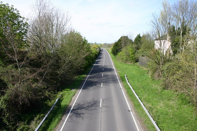
Image: © Bob Parkes Taken: 17 Apr 2005
Steyning bypass built on the disused Shoreham - Horsham railway line
Images are licensed for reuse under creativecommons.org/licenses/by-sa/2.0
Image Location
Latitude
50.891268
Longitude
-0.321374