Former railway route, Pembrey
Introduction
The photograph on this page of Former railway route, Pembrey by Jaggery as part of the Geograph project.
The Geograph project started in 2005 with the aim of publishing, organising and preserving representative images for every square kilometre of Great Britain, Ireland and the Isle of Man.

There are currently over 7.5m images from over 14,400 individuals and you can help contribute to the project by visiting https://www.geograph.org.uk
Former railway route, Pembrey
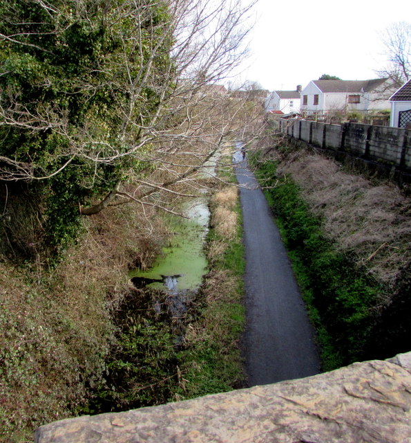
Image: © Jaggery Taken: 8 Mar 2018
Looking east from the B4311 road bridge. Old maps show a railway here.
Images are licensed for reuse under creativecommons.org/licenses/by-sa/2.0
Image Location
Latitude
51.686708
Longitude
-4.274041