Culvert Entrance
Introduction
The photograph on this page of Culvert Entrance by Anne Burgess as part of the Geograph project.
The Geograph project started in 2005 with the aim of publishing, organising and preserving representative images for every square kilometre of Great Britain, Ireland and the Isle of Man.

There are currently over 7.5m images from over 14,400 individuals and you can help contribute to the project by visiting https://www.geograph.org.uk
Culvert Entrance
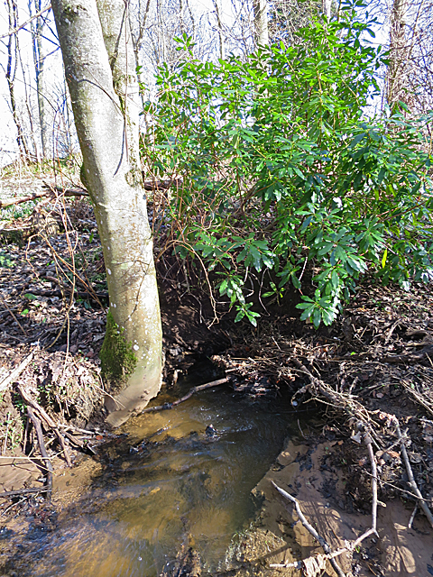
Image: © Anne Burgess Taken: 8 Mar 2018
The Burn of Bachlaw disappears underground here, and reappears at Image] after passing beneath the road.
Images are licensed for reuse under creativecommons.org/licenses/by-sa/2.0
Image Location
Latitude
57.651615
Longitude
-2.540503