The A2 approaching the Pat's Road junction outside Ballymartin
Introduction
The photograph on this page of The A2 approaching the Pat's Road junction outside Ballymartin by Eric Jones as part of the Geograph project.
The Geograph project started in 2005 with the aim of publishing, organising and preserving representative images for every square kilometre of Great Britain, Ireland and the Isle of Man.

There are currently over 7.5m images from over 14,400 individuals and you can help contribute to the project by visiting https://www.geograph.org.uk
The A2 approaching the Pat's Road junction outside Ballymartin
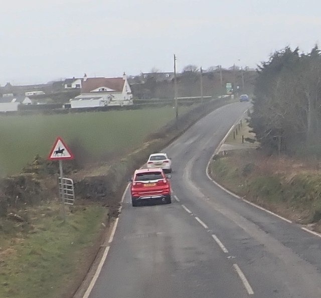
Image: © Eric Jones Taken: 16 Feb 2018
Pat's Road which links the A2 with the sea plays a pivotal role in the social and cultural life of the village and the nearby town of Kilkeel. The Ballymartin GAA club which draws its members and supporters from the Nationalist community is located on this road and on "The Twelfth" Orangemen from the Kingdom of Mourne march some 5km from Kilkeel to Pat's Road and back again.
Images are licensed for reuse under creativecommons.org/licenses/by-sa/2.0
Image Location
Latitude
54.076
Longitude
-5.962222