Thames Lock, Brentford
Introduction
The photograph on this page of Thames Lock, Brentford by Stephen McKay as part of the Geograph project.
The Geograph project started in 2005 with the aim of publishing, organising and preserving representative images for every square kilometre of Great Britain, Ireland and the Isle of Man.

There are currently over 7.5m images from over 14,400 individuals and you can help contribute to the project by visiting https://www.geograph.org.uk
Thames Lock, Brentford
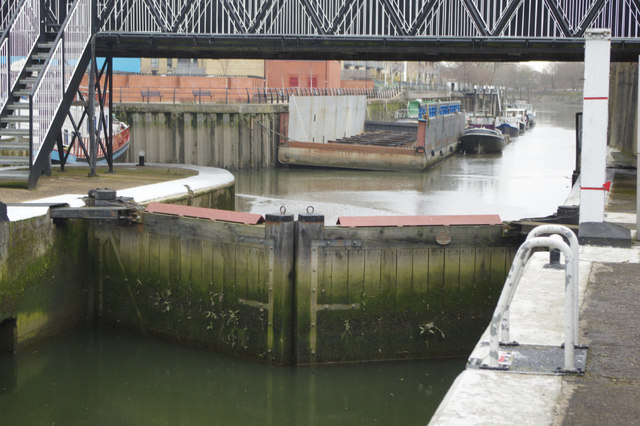
Image: © Stephen McKay Taken: 6 Mar 2018
Thames Lock marks the southern end of the Grand Union Canal; below here there is a short stretch of the tidal River Brent which then reaches the River Thames. The other extremity of the canal is at the equally urban Salford Junction in Birmingham, 137 miles and 166 locks away. This lock is operated during the winter months by prior arrangement only, between 0800 and 1600 depending on tidal conditions.
Images are licensed for reuse under creativecommons.org/licenses/by-sa/2.0
Image Location
Latitude
51.482121
Longitude
-0.304523