Farmland in the valley of Cray Fish Beck
Introduction
The photograph on this page of Farmland in the valley of Cray Fish Beck by Christine Johnstone as part of the Geograph project.
The Geograph project started in 2005 with the aim of publishing, organising and preserving representative images for every square kilometre of Great Britain, Ireland and the Isle of Man.

There are currently over 7.5m images from over 14,400 individuals and you can help contribute to the project by visiting https://www.geograph.org.uk
Farmland in the valley of Cray Fish Beck
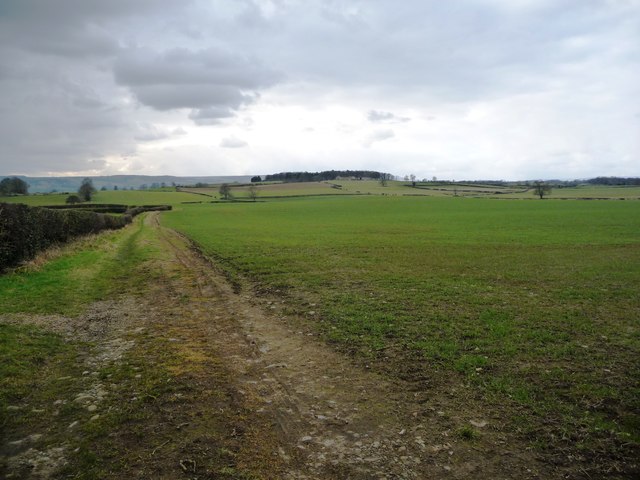
Image: © Christine Johnstone Taken: 26 Feb 2018
The field edge track is mapped as an 'other route with public access' as far as the parish [and next field] boundary.
Images are licensed for reuse under creativecommons.org/licenses/by-sa/2.0
Image Location
Latitude
54.282593
Longitude
-1.669124