B3314 Bodieve Road
Introduction
The photograph on this page of B3314 Bodieve Road by Derek Harper as part of the Geograph project.
The Geograph project started in 2005 with the aim of publishing, organising and preserving representative images for every square kilometre of Great Britain, Ireland and the Isle of Man.

There are currently over 7.5m images from over 14,400 individuals and you can help contribute to the project by visiting https://www.geograph.org.uk
B3314 Bodieve Road
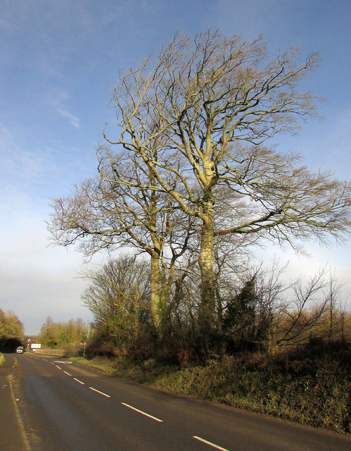
Image: © Derek Harper Taken: 30 Jan 2018
The road is the parish boundary between Wadebridge (left) and Egloshayle. On the left it crosses a bridge over the A39 Wadebridge bypass.
Images are licensed for reuse under creativecommons.org/licenses/by-sa/2.0
Image Location
Latitude
50.523249
Longitude
-4.82997