Burgess Street (Leominster)
Introduction
The photograph on this page of Burgess Street (Leominster) by Fabian Musto as part of the Geograph project.
The Geograph project started in 2005 with the aim of publishing, organising and preserving representative images for every square kilometre of Great Britain, Ireland and the Isle of Man.

There are currently over 7.5m images from over 14,400 individuals and you can help contribute to the project by visiting https://www.geograph.org.uk
Burgess Street (Leominster)
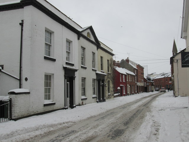
Image: © Fabian Musto Taken: 2 Mar 2018
Here is the other side of Burgess Street, and some parts of it is covered with snow. The tower of the former congregational chapel and library are seen on the right.
Images are licensed for reuse under creativecommons.org/licenses/by-sa/2.0
Image Location
Latitude
52.227868
Longitude
-2.739894