Trees at the southern edge of Gras Lawn housing estate
Introduction
The photograph on this page of Trees at the southern edge of Gras Lawn housing estate by David Smith as part of the Geograph project.
The Geograph project started in 2005 with the aim of publishing, organising and preserving representative images for every square kilometre of Great Britain, Ireland and the Isle of Man.

There are currently over 7.5m images from over 14,400 individuals and you can help contribute to the project by visiting https://www.geograph.org.uk
Trees at the southern edge of Gras Lawn housing estate
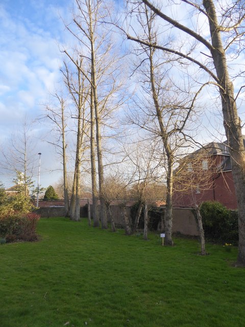
Image: © David Smith Taken: 27 Feb 2018
A slight screen between this estate and the neighbouring development; to the left is the clock tower of Wyvern Barracks Image
Images are licensed for reuse under creativecommons.org/licenses/by-sa/2.0
Image Location
Latitude
50.712505
Longitude
-3.512069