St. Saviour's Church
Introduction
The photograph on this page of St. Saviour's Church by Malcolm Neal as part of the Geograph project.
The Geograph project started in 2005 with the aim of publishing, organising and preserving representative images for every square kilometre of Great Britain, Ireland and the Isle of Man.

There are currently over 7.5m images from over 14,400 individuals and you can help contribute to the project by visiting https://www.geograph.org.uk
St. Saviour's Church
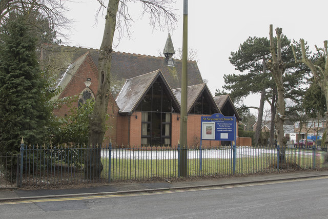
Image: © Malcolm Neal Taken: 28 Feb 2018
St. Saviour's church appears to be linked to the church of All Saints which is about 1.5 km back along the road towards Burton on Trent. At least that is what the noticeboard outside the Burton church stated.
Images are licensed for reuse under creativecommons.org/licenses/by-sa/2.0
Image Location
Latitude
52.787549
Longitude
-1.667965