Lower Crownley
Introduction
The photograph on this page of Lower Crownley by Derek Harper as part of the Geograph project.
The Geograph project started in 2005 with the aim of publishing, organising and preserving representative images for every square kilometre of Great Britain, Ireland and the Isle of Man.

There are currently over 7.5m images from over 14,400 individuals and you can help contribute to the project by visiting https://www.geograph.org.uk
Lower Crownley
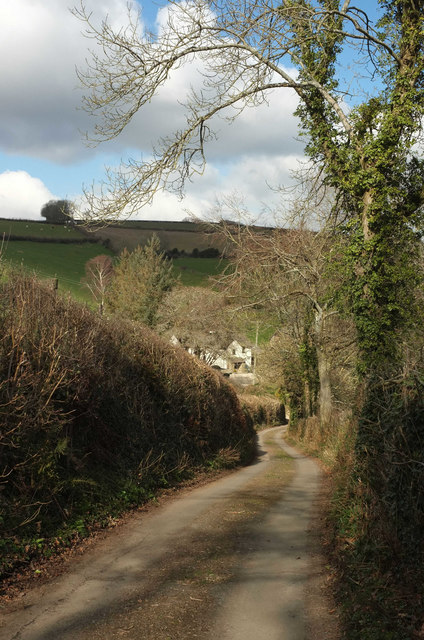
Image: © Derek Harper Taken: 27 Feb 2018
Looking down Trough Lane near Crownley Barn. The farmhouse, in a deep and narrow side valley, is listed: "C16 or C17 with later additions" https://www.historicengland.org.uk/listing/the-list/list-entry/1096645 .
Images are licensed for reuse under creativecommons.org/licenses/by-sa/2.0
Image Location
Latitude
50.600617
Longitude
-3.664485