The closure of Hinckley Road, Leicester
Introduction
The photograph on this page of The closure of Hinckley Road, Leicester by Mat Fascione as part of the Geograph project.
The Geograph project started in 2005 with the aim of publishing, organising and preserving representative images for every square kilometre of Great Britain, Ireland and the Isle of Man.

There are currently over 7.5m images from over 14,400 individuals and you can help contribute to the project by visiting https://www.geograph.org.uk
The closure of Hinckley Road, Leicester
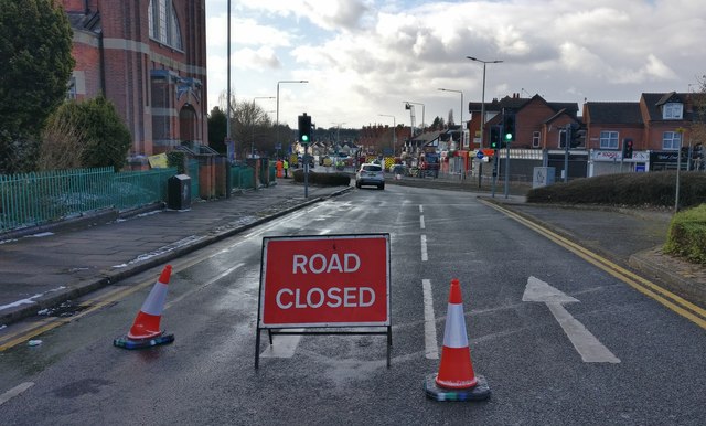
Image: © Mat Fascione Taken: 26 Feb 2018
The day after the tragic explosion at a Polish convenience store which resulted in five fatalities.
Images are licensed for reuse under creativecommons.org/licenses/by-sa/2.0
Image Location
Latitude
52.632552
Longitude
-1.156873