Footpath & cycleway to Deer Park Road, Witney, Oxon
Introduction
The photograph on this page of Footpath & cycleway to Deer Park Road, Witney, Oxon by P L Chadwick as part of the Geograph project.
The Geograph project started in 2005 with the aim of publishing, organising and preserving representative images for every square kilometre of Great Britain, Ireland and the Isle of Man.

There are currently over 7.5m images from over 14,400 individuals and you can help contribute to the project by visiting https://www.geograph.org.uk
Footpath & cycleway to Deer Park Road, Witney, Oxon
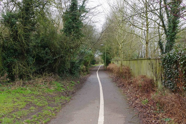
Image: © P L Chadwick Taken: 18 Feb 2018
This connects Edington Road to Deer Park Road. It passes Ralegh Crescent Recreation & Play Park, which is behind the trees on the left. Later it passes Deer Park Field.
Images are licensed for reuse under creativecommons.org/licenses/by-sa/2.0
Image Location
Latitude
51.785924
Longitude
-1.508936