The B5430 north of Llanarmon yn I
Introduction
The photograph on this page of The B5430 north of Llanarmon yn I by John S Turner as part of the Geograph project.
The Geograph project started in 2005 with the aim of publishing, organising and preserving representative images for every square kilometre of Great Britain, Ireland and the Isle of Man.

There are currently over 7.5m images from over 14,400 individuals and you can help contribute to the project by visiting https://www.geograph.org.uk
The B5430 north of Llanarmon yn I
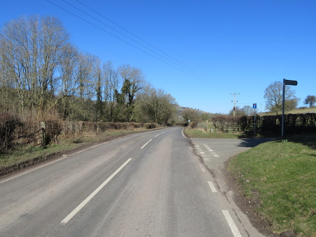
Image: © John S Turner Taken: 25 Feb 2018
The B5430 at its junction with an unclassified road. There is also a track out of sight on the left that crosses the River Alyn/Afon Alun.
Images are licensed for reuse under creativecommons.org/licenses/by-sa/2.0
Image Location
Latitude
53.108486
Longitude
-3.214283