Disused railway bridge over Cheddar Yeo river
Introduction
The photograph on this page of Disused railway bridge over Cheddar Yeo river by Mike Belch as part of the Geograph project.
The Geograph project started in 2005 with the aim of publishing, organising and preserving representative images for every square kilometre of Great Britain, Ireland and the Isle of Man.

There are currently over 7.5m images from over 14,400 individuals and you can help contribute to the project by visiting https://www.geograph.org.uk
Disused railway bridge over Cheddar Yeo river
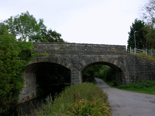
Image: © Mike Belch Taken: 29 Sep 2007
This railway bridge used to carry the Cheddar Valley Railway, otherwise known as the Strawberry Line. The bridge is now a footpath from the centre of Cheddar to the new housing estate located on the edge of the village.
Images are licensed for reuse under creativecommons.org/licenses/by-sa/2.0
Image Location


Leaflet Map data © OpenStreetMap
Latitude
51.271856
Longitude
-2.777183