Industrial units, Purdeys Way, Rochford
Introduction
The photograph on this page of Industrial units, Purdeys Way, Rochford by David Kemp as part of the Geograph project.
The Geograph project started in 2005 with the aim of publishing, organising and preserving representative images for every square kilometre of Great Britain, Ireland and the Isle of Man.

There are currently over 7.5m images from over 14,400 individuals and you can help contribute to the project by visiting https://www.geograph.org.uk
Industrial units, Purdeys Way, Rochford
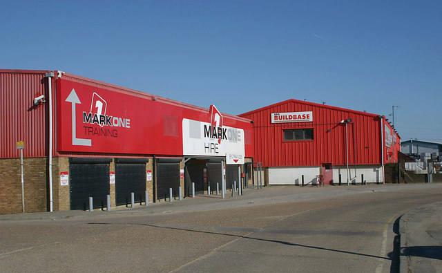
Image: © David Kemp Taken: 25 Feb 2018
Purdeys Industrial Estate has grown up over the last thirty years or so on a site bounded on three sides by the river Roach. It had been occupied in the past by claypits and the former Purdeys Farm, and more recently by the Tinkers Lane landfill site. Taken from the corner of Welton Way.
Images are licensed for reuse under creativecommons.org/licenses/by-sa/2.0
Image Location
Latitude
51.57692
Longitude
0.717679