Church Street, Alton
Introduction
The photograph on this page of Church Street, Alton by Jim Osley as part of the Geograph project.
The Geograph project started in 2005 with the aim of publishing, organising and preserving representative images for every square kilometre of Great Britain, Ireland and the Isle of Man.

There are currently over 7.5m images from over 14,400 individuals and you can help contribute to the project by visiting https://www.geograph.org.uk
Church Street, Alton
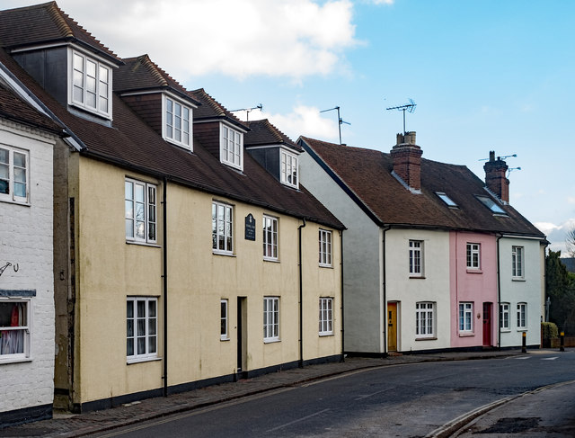
Image: © Jim Osley Taken: 17 Feb 2018
Features to the left Cromwell House, where Oliver Cromwell stayed at the time of the 1643 battle in and around Alton.
Images are licensed for reuse under creativecommons.org/licenses/by-sa/2.0
Image Location
Latitude
51.150715
Longitude
-0.974833