Deceptive Tracks
Introduction
The photograph on this page of Deceptive Tracks by Raymond Okonski as part of the Geograph project.
The Geograph project started in 2005 with the aim of publishing, organising and preserving representative images for every square kilometre of Great Britain, Ireland and the Isle of Man.

There are currently over 7.5m images from over 14,400 individuals and you can help contribute to the project by visiting https://www.geograph.org.uk
Deceptive Tracks
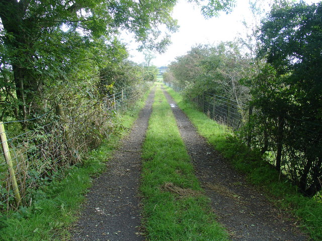
Image: © Raymond Okonski Taken: 27 Sep 2007
This nondescript farm track had an earlier purpose - it was the route of a narrow gauge railway that ran from Larne to Ballymena. This view follows the track alignment to Larne
Images are licensed for reuse under creativecommons.org/licenses/by-sa/2.0
Image Location


Leaflet Map data © OpenStreetMap
Latitude
54.792646
Longitude
-5.951868