Flats in Avon Way, Shoeburyness
Introduction
The photograph on this page of Flats in Avon Way, Shoeburyness by David Kemp as part of the Geograph project.
The Geograph project started in 2005 with the aim of publishing, organising and preserving representative images for every square kilometre of Great Britain, Ireland and the Isle of Man.

There are currently over 7.5m images from over 14,400 individuals and you can help contribute to the project by visiting https://www.geograph.org.uk
Flats in Avon Way, Shoeburyness
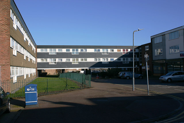
Image: © David Kemp Taken: 22 Feb 2018
Avon Way stands (more or less) on the site of Cambridge Road, a street of C19 terraced houses similar to those in Trafalgar Road Image nearby.
Images are licensed for reuse under creativecommons.org/licenses/by-sa/2.0
Image Location
Latitude
51.530927
Longitude
0.780547