Pasta di Piazza, Newcastle-under-Lyme
Introduction
The photograph on this page of Pasta di Piazza, Newcastle-under-Lyme by Jonathan Hutchins as part of the Geograph project.
The Geograph project started in 2005 with the aim of publishing, organising and preserving representative images for every square kilometre of Great Britain, Ireland and the Isle of Man.

There are currently over 7.5m images from over 14,400 individuals and you can help contribute to the project by visiting https://www.geograph.org.uk
Pasta di Piazza, Newcastle-under-Lyme
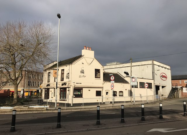
Image: © Jonathan Hutchins Taken: 21 Feb 2018
On the corner of Stubbs Street, facing the Grosvenor Gardens roundabout. Barracks Road is the dual carriageway in the foreground. On the right the large red letters denote the back of Brassingtons, a bar now closed.
Images are licensed for reuse under creativecommons.org/licenses/by-sa/2.0
Image Location


Leaflet Map data © OpenStreetMap
Latitude
53.009297
Longitude
-2.224705