The Middlewood Way at Higher Poynton, Cheshire
Introduction
The photograph on this page of The Middlewood Way at Higher Poynton, Cheshire by Roger D Kidd as part of the Geograph project.
The Geograph project started in 2005 with the aim of publishing, organising and preserving representative images for every square kilometre of Great Britain, Ireland and the Isle of Man.

There are currently over 7.5m images from over 14,400 individuals and you can help contribute to the project by visiting https://www.geograph.org.uk
The Middlewood Way at Higher Poynton, Cheshire
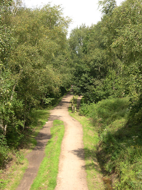
Image: © Roger D Kidd Taken: 24 Aug 2007
This ten mile recreational route follows the line of a dismantled railway. Cycling and horse riding is encouraged. http://www.macclesfield.gov.uk/standardpage.asp?pageid=8470
Images are licensed for reuse under creativecommons.org/licenses/by-sa/2.0
Image Location
Latitude
53.34872
Longitude
-2.084983