Queen Emma's primary school, Witney
Introduction
The photograph on this page of Queen Emma's primary school, Witney by Chris Brown as part of the Geograph project.
The Geograph project started in 2005 with the aim of publishing, organising and preserving representative images for every square kilometre of Great Britain, Ireland and the Isle of Man.

There are currently over 7.5m images from over 14,400 individuals and you can help contribute to the project by visiting https://www.geograph.org.uk
Queen Emma's primary school, Witney
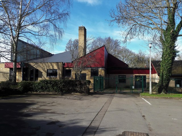
Image: © Chris Brown Taken: 12 Feb 2018
Built in 1970 to an open-plan design of interlocking blocks by the county architect Albert Smith, to all appearances it is wearing its years well.
Images are licensed for reuse under creativecommons.org/licenses/by-sa/2.0
Image Location
Latitude
51.780659
Longitude
-1.497107